

19 July, 2026 Survey and Land Registration Bureau Concludes Its Surveying Engineering and Geospatial Information Program at Youth City 2030
Survey and Land Registration Bureau Concludes Its Surveying Engineering and Geospatial Information Program at Youth City 2030
The Survey and Land Registration Bureau (SLRB) concluded its participation in Youth City 2030, organized by the Ministry of Youth Affairs in collaboration with its strategic partner, the Labour Fund (Tamkeen), by delivering a specialized training program in Surveying Engineering and Geospatial Information. The program aimed to introduce participants to the fundamentals and practical applications of the discipline while equipping them with the skills to utilize the latest geospatial technologies in developing a practical project that serves visitors to the city.
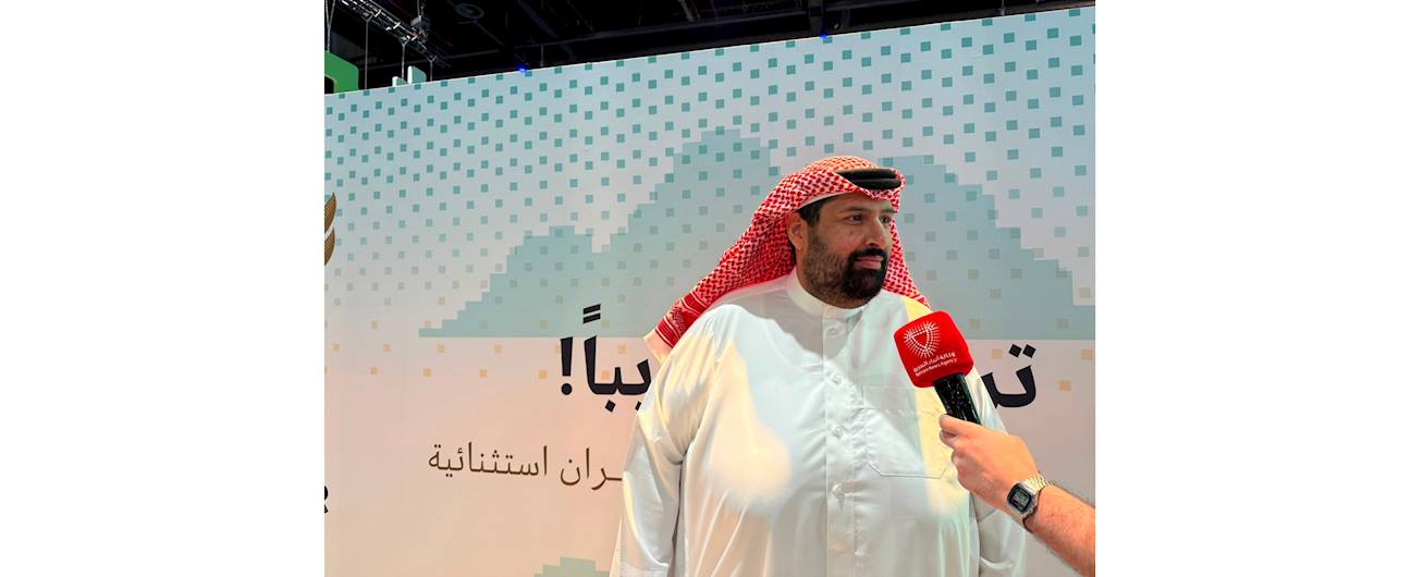
Eng. Mohammed Abdulghaffar Al Marbati, Head of the Geospatial Data Survey Operations Section, stated that the four-day program witnessed remarkable engagement from participants aged 15 to 30, emphasizing that the participants' enthusiasm for learning and exploring modern surveying and geospatial technologies was the most distinctive aspect of the experience.
He added: “We were delighted by the participants’ enthusiasm and curiosity throughout the program. They demonstrated a genuine eagerness to learn and engage in practical activities, which was clearly reflected in their successful application of the knowledge and skills they acquired to produce a smart wayfinding map at the conclusion of the program. We hope this experience has introduced them to this vital field and opened new horizons toward geospatial disciplines and related career opportunities in the future.”
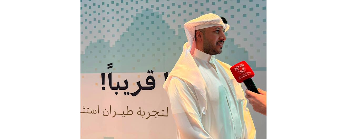
For his part, Eng. Abdulaziz Juma Al Banki, Head of the Geographic Spatial Data Field Survey Group, explained that the program concluded with the implementation of a practical project involving the development of a smart wayfinding map for Youth City 2030, showcasing the knowledge and skills participants had acquired throughout the training.
He noted that the map included the locations of facilities, halls, programs, activities, and services, as well as navigation routes and points of interest. It was integrated with an interactive system that enables visitors to easily reach their destinations and make the most of the city's facilities. He emphasized that the project reflected the participants’ ability to transform theoretical knowledge into a practical solution that serves the community and aligns with smart city concepts.
Meanwhile, Eng. Khalid Waleed Qambar, Senior Land Surveyor, explained that participants underwent a comprehensive field experience simulating the daily work of the surveying profession. They carried out field observations and surveying activities using Total Station and GPS equipment before processing the collected data using MicroStation and other specialized engineering software to produce the project's final outputs.
He added that this hands-on experience enabled participants to apply what they had learned in a realistic professional environment, providing them with a clear understanding of the various stages of surveying work—from data collection and site observations to the production of accurate maps. The experience also highlighted the vital role of geospatial technologies in supporting development projects, enhancing services, and enabling informed decision-making.
The program forms part of the Survey and Land Registration Bureau’s initiatives at Youth City 2030, aimed at introducing young people to one of the future-oriented disciplines associated with digital transformation. By combining theoretical knowledge with practical application, the program seeks to strengthen participants’ knowledge and skills in surveying and geospatial information, contributing to the development of qualified national talent capable of keeping pace with technological advancements and supporting Bahrain’s sustainable development journey.