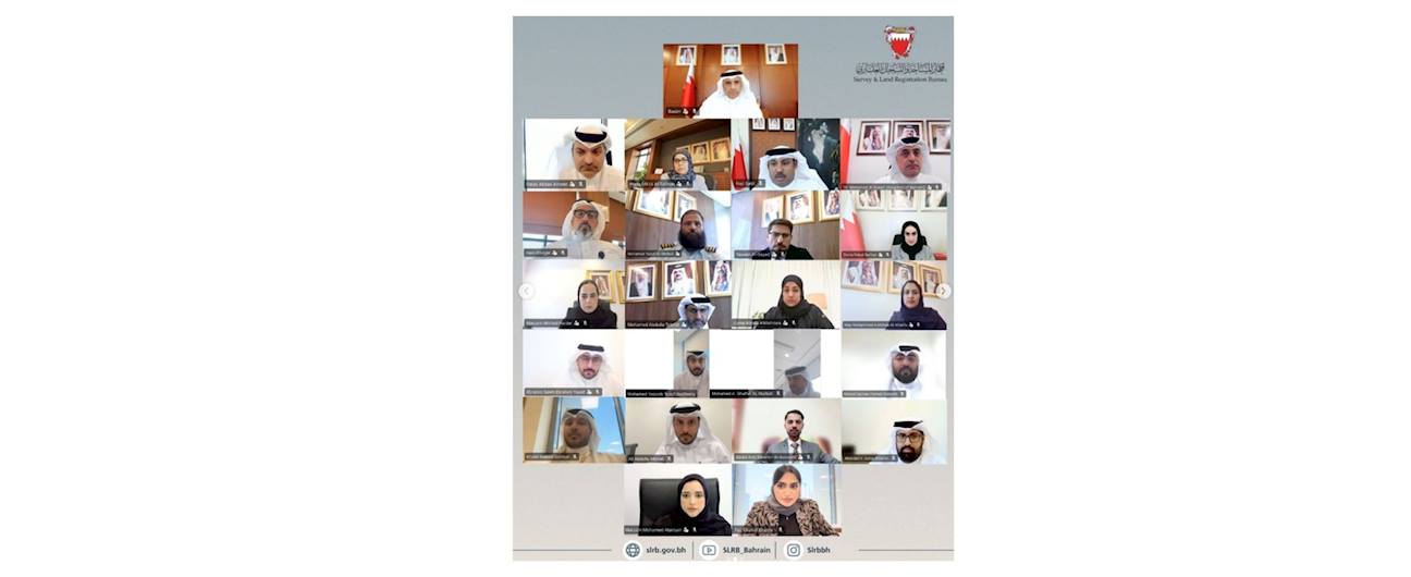
The National Committee for Geospatial Information Governance held its third meeting under the chairmanship of H.E. Eng. Bassem bin Yaqoob Al Hamar, President of the Survey and Land Registration Bureau, with the participation of committee members and representatives from government entities. The meeting discussed a number of key topics, including:

  • Reviewing the results of the 2025 Global Geospatial Readiness Index and discussing opportunities to enhance the Kingdom of Bahrain's readiness in the next edition.
  • Approving the work plans of the subcommittees in line with the Integrated Geospatial Information Framework (IGIF) to support the implementation of national initiatives.
  • Approving a unified national survey to support the work of the committees and standardize data collection mechanisms across government entities.
  • Establishing a legal support team to assist the National Committee and its subcommittees, contributing to the accelerated completion of legislative and regulatory matters.

At the conclusion of the meeting, His Excellency emphasized the importance of continuing collaborative efforts to strengthen the Kingdom of Bahrain's readiness and further advance its geospatial information ecosystem.


Back to News