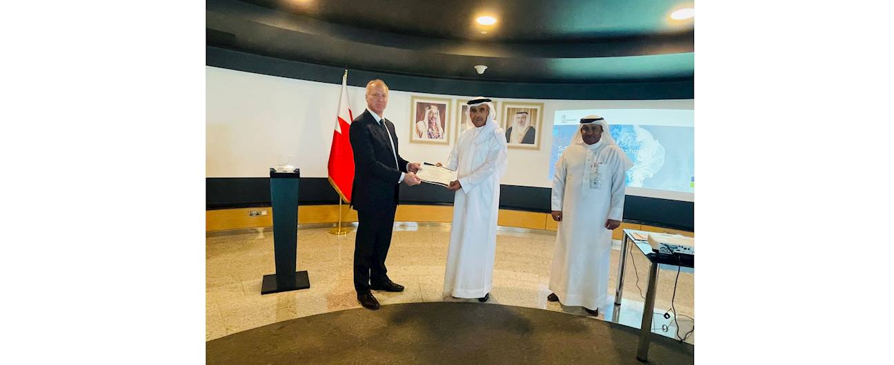
24 May, 2025 With the participation of experts from the UK Hydrographic Office The Survey and Land Registration Bureau organizes a workshop on modern international maritime standards
With the participation of experts from the UK Hydrographic Office
The Survey and Land Registration Bureau organizes a workshop on modern international maritime standards
The Survey and Land Registration Bureau held a 4-day specialized workshop titled "Study of the 100-S Standards and Strategic Planning for Them." Experts in hydrographic surveying and navigation technologies from the UK Hydrographic Office (UKHO) participated. This makes Bahrain one of the first countries in the region to adopt these new standards set by the International Hydrographic Organization (IHO), in line with the requirements of the International Maritime Organization (IMO).
His Excellency Eng. Basim Yacob Al Hamer, President of Survey and Land Registration Bureau, said this workshop is part of the plan to move towards modern international standards in maritime surveying. These standards play an important role in improving the quality of marine data, boosting digital transformation, and expanding international cooperation. He emphasized that switching to the 100-S standards is a key part of the Bureau’s strategic plan and supports Bahrain’s position as a leading maritime center in the region.
Eng. Al Hamer also stated that adopting the 100-S standards is a main goal of the Bureau's strategy to improve global performance indicators and achieve institutional excellence. This move will help strengthen infrastructure and transport networks, support coordination with other government ministries, and promote sustainable maritime economic development.
He noted that studying the current state of maritime surveying based on 100-S standards will help assess readiness in terms of equipment, personnel, and technology. A full five-year plan is being developed to cover training, funding, and equipment needs to ensure a smooth and sustainable transition to the new standards. The Bureau is also preparing to convert marine charts and data to 100-S standards to improve maritime safety and reduce accidents by providing accurate and real-time data. This will also improve navigation planning and help sailors and users make better decisions.
It is worth mentioning that the 100-S standards, launched by the International Hydrographic Organization, are the new framework for managing digital marine data. They integrate well with modern navigation systems and provide a wide range of data, including depth, currents, and environmental information. These standards will be required globally for ships starting in 2029.
