25 December, 2025 The Survey and Land Registration Bureau organizes an introductory workshop for the Ministry of Municipalities Affairs and Agriculture.
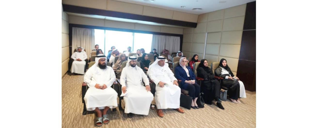
As part of strengthening institutional integration and supporting digital transformation pathways, the Survey and Land Registration Bureau organized an introductory workshop for the Ministry of Municipalities Affairs and Agriculture. The workshop was delivered by Engineer Mohammed Al-Marbati, Head of the Geospatial Data Survey Operations Section, to showcase the latest products and strategic projects, including the Geospatial Platform Project and the Virtual Tour Project using 360-degree panoramic imaging technology.
This workshop is part of a series of introductory workshops organized by the Bureau for various stakeholders, with the aim of building national capacities and highlighting the benefits of the Bureau’s projects and products. This contributes to enhancing the efficiency of government work, adding value to the quality of government services and infrastructure, and supporting the objectives of sustainable development.