

22 September, 2026 Survey and Land Registration Bureau Signs Agreement to Survey and Update Property Ownership Maps in Older Areas
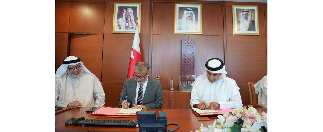
The Survey and Land Registration Bureau has announced the signing of an agreement with Awtad Engineering and Surveying Company to implement a project to survey and update the maps contained in property ownership documents for properties located in older areas. The project forms part of ongoing efforts to enhance digital transformation, develop digital infrastructure, and improve the quality and reliability of real estate and surveying data.
On this occasion, His Excellency Engineer Bassem bin Yacoub Al Hamer, President of the Survey and Land Registration Bureau, stated that the project represents a strategic step toward completing the development of the real estate system in the Kingdom of Bahrain. This will be achieved by updating property data and linking it to the National Coordinate System, with the ultimate goal of ensuring that 100% of all registered properties in the Kingdom are covered by maps and surveys in accordance with the latest approved standards.
His Excellency explained that the project will involve surveying and updating data for properties that have not yet been surveyed, as well as establishing a more accurate, up-to-date, and reliable national real estate database. This database will support government services, the real estate sector, and relevant entities, while enhancing the integration of information associated with properties.
He noted that the project will have a direct impact on citizens and property owners by updating property data, including boundaries, dimensions, location, and coordinates, and by enabling the issuance of an updated electronic title deed. This will contribute to speeding up property-related services and reducing the time and effort required from beneficiaries.
His Excellency explained that the project will be implemented in phases, beginning with field surveying and updating property data, converting measurements from feet to the metric system, and linking properties to the approved national coordinates. Property owners concerned will subsequently be invited to complete the registration procedures for their properties through the Bureau’s website once the surveying work has been completed in accordance with the established plan.
He affirmed that the project will also support urban planning and development and strategic projects, accelerate real estate procedures, and enhance the investment environment. It will further promote transparency and confidence in the real estate sector by providing accurate, up-to-date, and reliable information.
His Excellency pointed out that the project is directly linked to the World Bank’s Business Ready (B-READY) report, which includes indicators measuring the extent to which registered properties are covered by cadastral maps and whether properties are included in cadastral surveys and mapping. He emphasized that achieving 100% coverage with up-to-date cadastral surveys would contribute to enhancing the Kingdom of Bahrain’s readiness and competitiveness in international indicators related to land administration and the business environment.
He added that the project is aligned with a number of international frameworks concerned with the development of land administration and the quality of real estate data, including the Framework for Effective Land Administration (FELA), issued by the United Nations Committee of Experts on Global Geospatial Information Management (UN-GGIM). This reflects the Bureau’s commitment to keeping pace with international best practices and standards in this field.
His Excellency emphasized the importance of partnering with the private sector and benefiting from its specialized expertise and capabilities in carrying out surveying works in accordance with approved technical standards and requirements. He noted that such partnerships contribute to supporting the implementation of strategic projects and improving the efficiency and quality of their outcomes. He also highlighted the importance of cooperation with field teams by providing the required documents whenever necessary.
For his part, Engineer Waheed Hadi Al Bastaki, Chief Executive Officer of Awtad Engineering and Surveying Company, expressed the company’s pride in its partnership with the Survey and Land Registration Bureau. He valued the trust placed in the company to contribute to the implementation of this project and affirmed the company’s commitment to utilizing its specialized expertise and capabilities, as well as the latest digital surveying technologies and geospatial systems, in accordance with the highest approved standards and technical requirements.