

02 July, 2026 Survey and Land Registration Bureau Showcases Its Key Projects and Digital Products to the Ministry of Interior
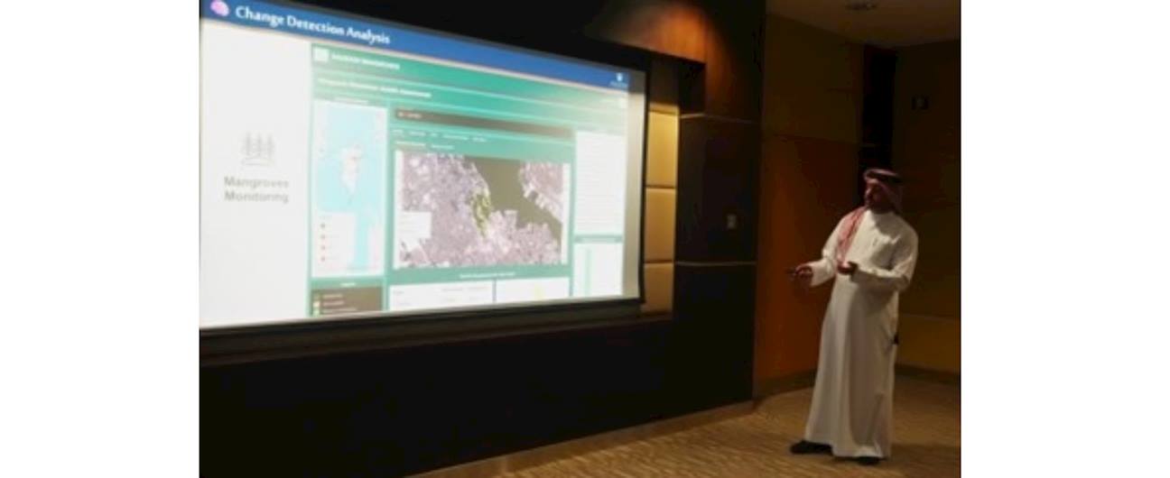
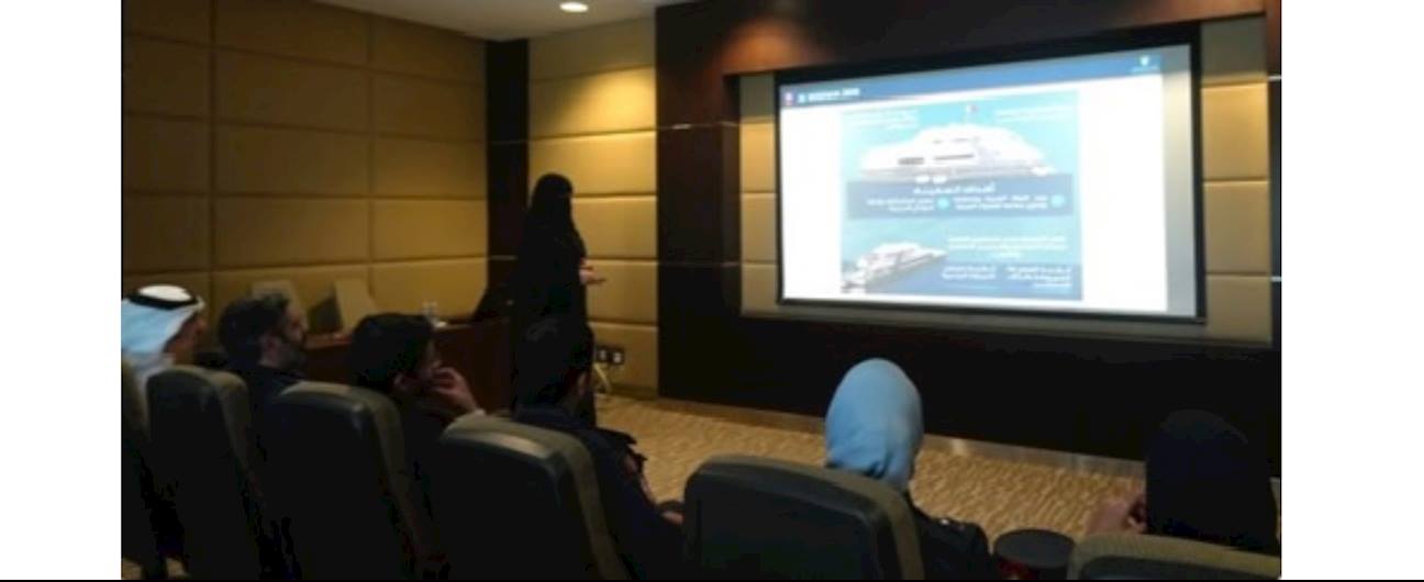
The Survey and Land Registration Bureau (SLRB) showcased its key digital projects and products during a specialized workshop held in collaboration with the Ministry of Interior. The presentation featured the Virtual Tour Project, the Change Detection System, the Geospatial Platform, and the Existing Buildings project, as part of the Bureau's efforts to strengthen the integration of geospatial data across the Kingdom of Bahrain.
The workshop forms part of a series of awareness and engagement sessions organized by the Bureau with relevant government entities to promote intergovernmental collaboration, facilitate the efficient and reliable exchange of geospatial data, and support planning and informed decision-making in line with the Kingdom's sustainable development goals.