10 February, 2026 Survey and Land Registration Bureau Organizes Workshop to Introduce the Geospatial Data Platform

Survey and Land Registration Bureau Organizes Workshop to Introduce the Geospatial Data Platform
The Survey and Land Registration Bureau organized a workshop to introduce the Geospatial Data Platform (Geoportal), highlighting the digital services and geospatial products it offers, as well as ways to maximize their utilization in supporting government operations and enhancing decision-making efficiency across various development sectors in the Kingdom of Bahrain.
In this regard, H.E. Eng. Bassem bin Yaqoub Al Hamer, President of the Survey and Land Registration Bureau, affirmed that the initiatives and developmental steps undertaken by the Bureau—foremost among them awareness and training programs aimed at qualifying and empowering national cadres, in addition to the launch of the Geospatial Data Platform—constitute a fundamental pillar in supporting an advanced government ecosystem based on digital transformation and data integration. He explained that these initiatives reflect the Bureau’s commitment to keeping pace with international best practices and aligning with the global land management model, thereby enhancing government performance, reinforcing the principles of sustainable development, and contributing to Bahrain’s aspirations for a more inclusive and advanced developmental future.
His Excellency noted that this workshop complements what was presented during the Bahrain Geospatial Conference 2026, held last January, which witnessed the official launch of the platform. He emphasized that these initiatives embody the Bureau’s direction toward empowering government entities to leverage geospatial data and modern digital solutions. He further added that access to the platform will be made available from the entities’ workplaces to facilitate optimal utilization, ultimately improving performance efficiency and service quality.
Al Hamer explained that the Geospatial Platform is the result of years of continuous work guided by a clear methodology to implement best practices in land and spatial data management. It represents a pivotal step in the digital transformation journey, providing a unified digital environment for the exchange of reliable national data, enhancing future planning, supporting the implementation of development projects, and contributing to the achievement of sustainable development goals.
He also stressed the importance of continued coordination and integration among government entities and maximizing the use of reliable national data to support the Kingdom’s comprehensive development process and enhance government efficiency.
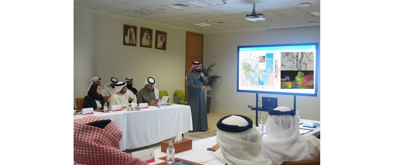
The workshop included a live and interactive demonstration of the platform, during which the specialized tools and datasets available were showcased, along with practical models simulating major national projects. The session witnessed notable engagement from attendees through discussions and questions, reflecting strong interest in expanding the platform’s practical application.
The Geospatial Platform is an integrated digital platform aimed at unifying and facilitating the exchange of geospatial data among relevant entities, enabling broader access to accurate information and empowering stakeholders to effectively utilize such data in supporting strategic decision-making and advancing digital transformation pathways.