

17 June, 2026 The National Committee for Geographic Information Governance held its second meeting, chaired by H.E. Engineer Bassem bin Yaqoub Al Hamer, with the participation of committee members and representatives from relevant government entities.
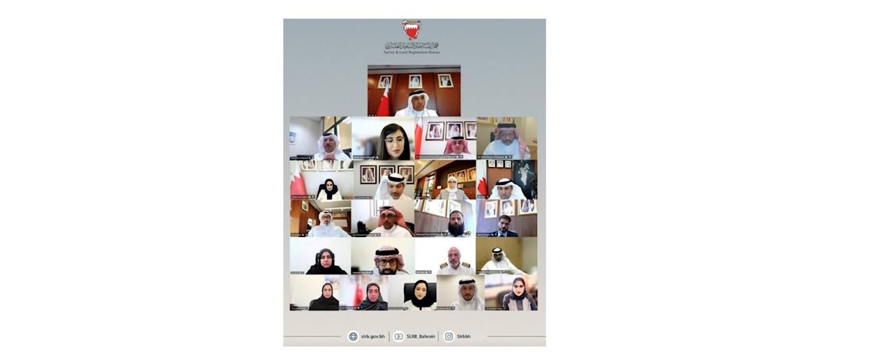
The National Committee for Geographic Information Governance held its second meeting, chaired by H.E. Engineer Bassem bin Yaqoub Al Hamer, with the participation of committee members and representatives from relevant government entities.
His Excellency emphasized the important role of the committee in strengthening geographic information governance, commending the efforts of the subcommittees and the valuable contributions of members in supporting the committee’s work and future directions.
During the meeting, the committee approved a number of strategic initiatives, most notably the development of the National Integrated Geospatial Information Framework (IGIF) Plan, the coordination of an initiative to integrate electronic platforms related to geospatial information, and the establishment of a specialized subcommittee for the Marine Spatial Data Infrastructure (MSDI) to develop a unified framework for the governance of marine data and platforms.
At the conclusion of the meeting, the Chairman stressed the importance of continuing collaborative efforts and introducing qualitative initiatives that contribute to the advancement of the geospatial information ecosystem and further enhance the Kingdom of Bahrain’s position in relevant international indicators.