24 June, 2025 President of the Survey and Land Registration Bureau: Developing the Marine Survey System Using the Latest Digital Technologies
President of the Survey and Land Registration Bureau: Developing the Marine Survey System Using the Latest Digital Technologies
On the occasion of World Hydrography Day, observed annually on June 21, His Excellency Engineer Bassim bin Yaqoub Al Hamer, President of the Survey and Land Registration Bureau, highlighted that marine surveying is an important national foundation for supporting maritime security, coastal development, and sustainable use of resources. He emphasized the importance of enhancing local capabilities in this field to keep up with environmental changes and development needs, helping Bahrain strengthen its role as a regional maritime hub.
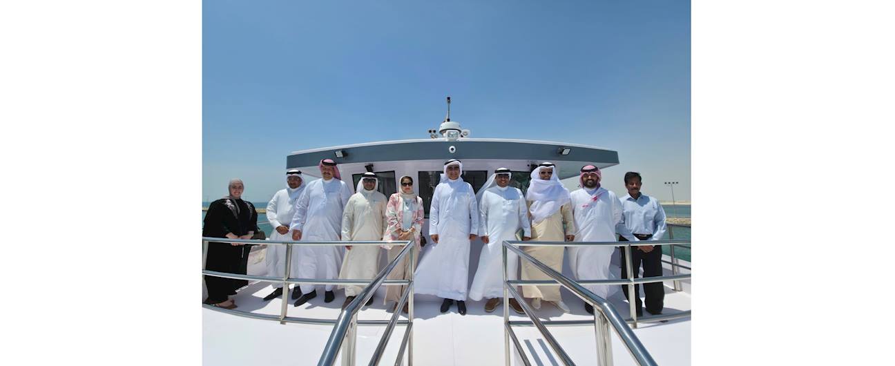
During his visit to inspect the progress of the national survey vessel project “Al-Masaha 2050”, he explained that the vessel represents a strategic investment in the marine environment, navigation safety, and natural resource management. The ship will be equipped with advanced sensing and 3D seabed mapping technologies to provide accurate data about marine sand resources, ensuring sustainability.
Al Hamer noted that the Marine Survey Directorate, in cooperation with partners, supports Bahrain’s efforts to improve maritime safety by updating navigation charts, identifying safe passages, and enhancing regional and international cooperation—especially with the International Hydrographic Organization. The directorate also contributes to achieving UN environmental and marine sustainability goals by monitoring the effects of climate change and sea currents on coasts and the seabed, protecting sensitive ecosystems, and supporting blue economy projects like undersea cables, energy pipelines, and offshore wind farms to reduce environmental impact and ensure safer navigation.
He added that the directorate plays a key role in supporting sea level rise studies by providing accurate, long-term data on tides and water depth. This data supports climate change models and helps protect coastal infrastructure. In recent years, the directorate has made significant progress by issuing new and updated nautical charts, publishing the annual tide guide, and supplying high-precision data for coastal infrastructure projects in line with international standards, in cooperation with the International Hydrographic Organization. It has also focused on developing national talent through specialized training and partnerships, as part of Bahrain’s shift toward a digital model that boosts its status as an advanced maritime center.
