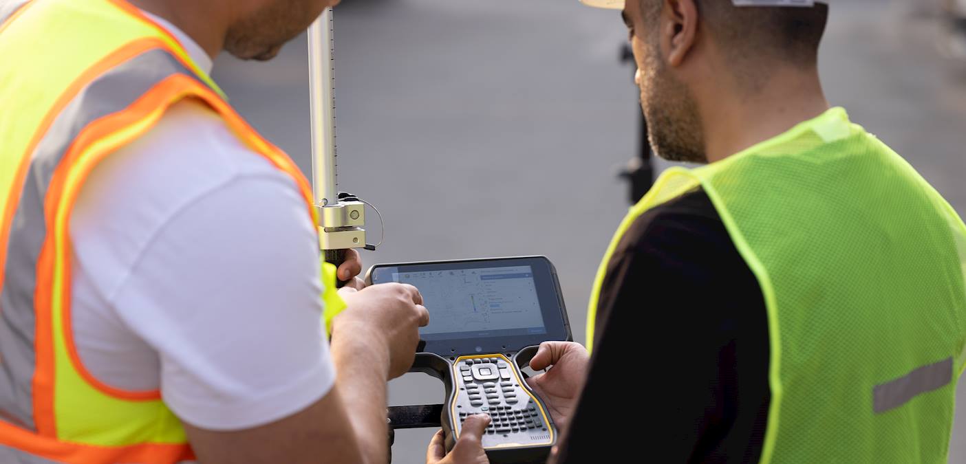
Topographic data scale 1:1000

Request Service
Applicant
Service Description
Documents Required
A request stating the reason for obtaining the data as well as providing the boundaries of the requested area.
Processing Time
3-4 working days
Service Steps
- Prepare all the required documents for submission.
- Apply in person or by e-mail.
- Sign the Digital Data License Agreement for companies and individuals, or the memorandums of understanding for Government Ministries.
- Pay the fees.
The applicant will be notified once his request is fulfilled.
Fees
BD 40 per unit (1/2 km²)
Terms and Conditions
- The use of data is subject to the terms and conditions related to digital data licenses at the Survey and Land Registration Bureau.
- Sign the Digital Data License Agreement for companies and individuals, or the memorandums of understanding for Government Ministries.
FAQs
What is the accuracy of topographic data?
Up to 20 cm.
What data format is provided?
CAD(DGN, DXF, DWG)
What is the data source?
Through field surveys and aerial photography