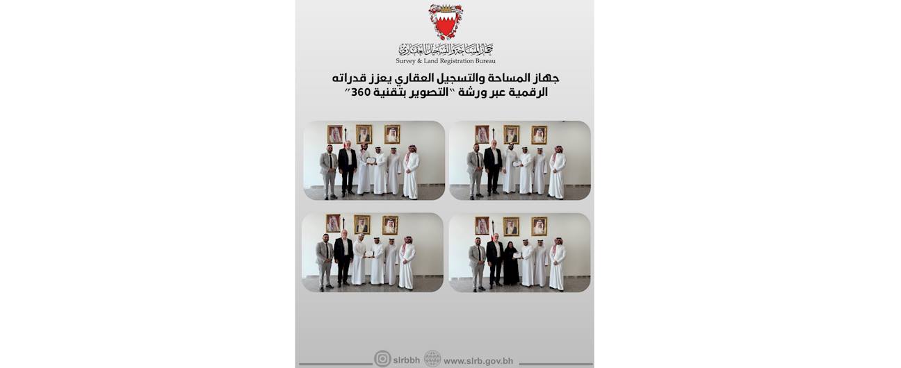
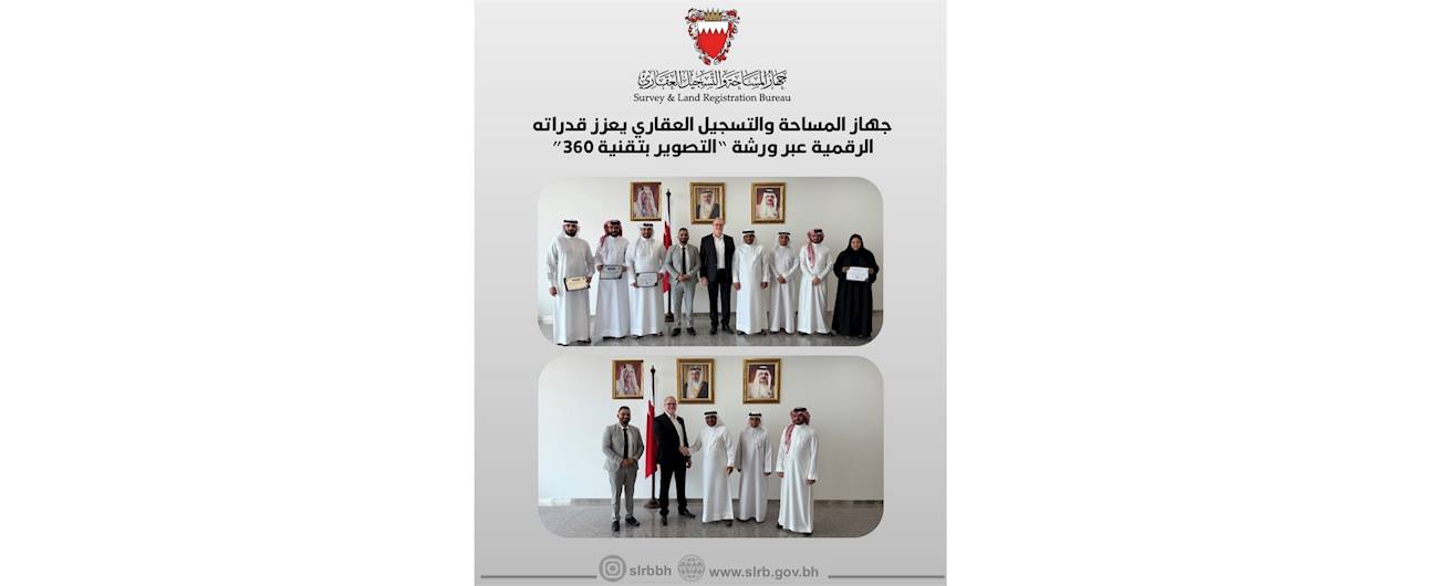
14 August, 2025 The Survey and Land Registration Bureau enhances its digital capabilities through a workshop on “360° Photography”
As part of its efforts to accelerate digital transformation and enhance the readiness of national cadres in modern technologies, the Survey and Land Registration Bureau organized a specialized workshop on 360-degree photography, with the participation of a number of its staff. The workshop was delivered by the company implementing the Virtual Tour Project of the Kingdom of Bahrain, and extended over nine days of intensive theoretical and practical training.
The Virtual Tour Project is considered one of the pioneering initiatives in spatial data imaging, allowing users to explore various streets and landmarks of Bahrain digitally through Google Maps. The coverage included most of Bahrain’s main streets and around 40 sites and landmarks across the Kingdom using this technology.
The workshop aimed to develop participants’ skills in camera settings, composition and lighting control, and the use of professional photography techniques. This falls within the Bureau’s strategic direction of training and qualifying its employees, transferring knowledge and expertise to them, thereby strengthening their role in implementing specialized projects, and contributing to creating a work environment capable of keeping pace with the requirements of digital transformation to provide advanced and smart services to citizens and residents.

