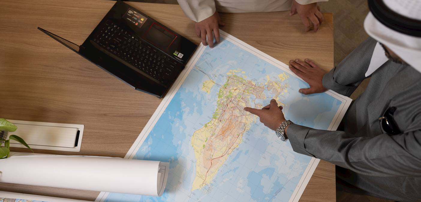
Book of symbols, abbreviations and terms used in maps
It is a comprehensive book that explains all international terms, symbols, and abbreviations used in nautical charts, adhering to the standards approved by the International Hydrographic Organization.

Request Service
Applicant
Service Description
Processing Time
The book is available for immediate purchase.
Service Steps
- Visit the Hydrographic Survey Directorate building in Mina Salman to purchase the book.
- Pay the fees.
Fees
BD 3
Rules and Regulations
- Property Registration Law promulgated by Law No. 13 of 2013.
- Resolution No. 10 of 2016 and its amendments issuing the executive regulations of the aforementioned Property Registration Law.
- Resolution No. 10 of 2017 Regarding Increasing Cadastral Services Fees for the Topographic and Hydrographic Survey Directorates