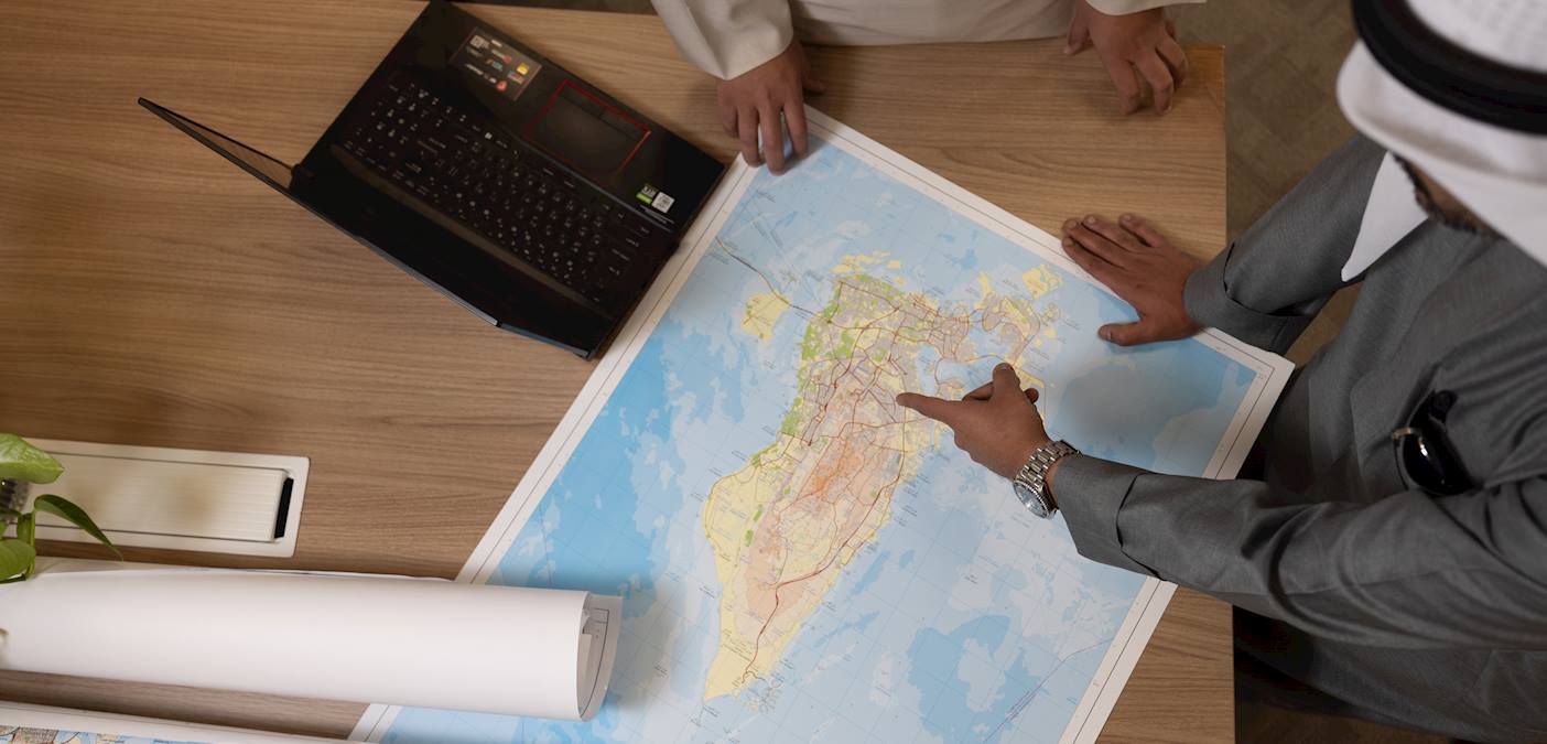
Request for Nautical Charts

Request Service
Applicant
Service Description
Processing Time
The processing time varies upon the number of charts involved. Typically, completion can range from one to three days.
Service Steps
- You can apply for nautical charts in person or by email.
- Please visit our directorate building in Mina Salman to collect your order.
- Pay the fees.
Note:
- The applicant will be notified once his request is fulfilled.
- For orders with more than 3 charts, we kindly prefer you contact us by email.
Fees
Paper Chart: BD 15
Digital Chart (PDF): BD 25
Rules and Regulations
- Property Registration Law promulgated by Law No. 13 of 2013.
- Resolution No. 10 of 2016 and its amendments issuing the executive regulations of the aforementioned Property Registration Law.
- Resolution No. 10 of 2017 Regarding Increasing Cadastral Services Fees for the Topographic and Hydrographic Survey Directorates