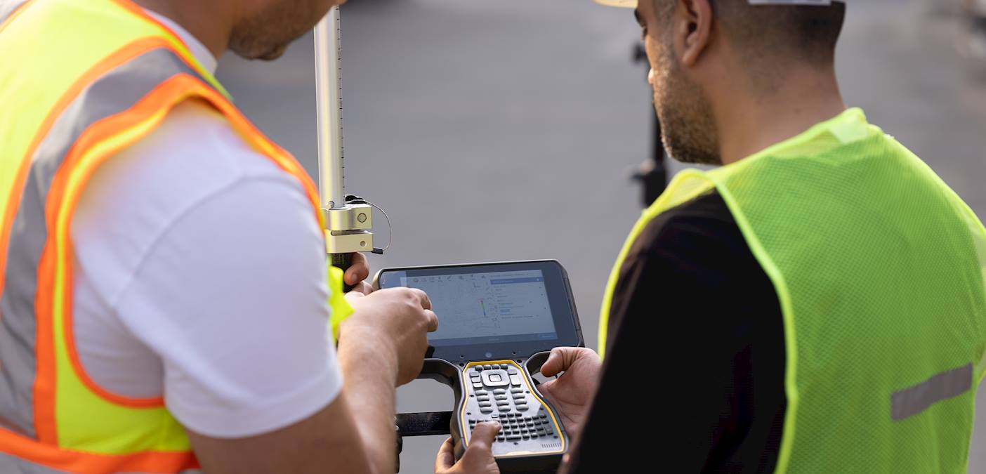
Digital Terrain Model (DTM)

Request Service
Applicant
Service Description
Documents Required
A request that clearly specifies the areas of interest along with a detailed explanation of the reason for obtaining the data.
Processing Time
3-4 days
Service Steps
- Prepare all the required documents for submission.
- Applications can be submitted either in person or via email.
- Sign the Digital Data Licenses Agreement is necessary for companies and individuals, or alternatively, a memorandum of understanding for government ministries.
- Pay the fees.
The applicant will be notified once his request is fulfilled.
Fees
BD 50 (per 1 sq.km)
FAQs
How extensive is the coverage of terrain maps?
The coverage of terrain maps varies from year to year. In most cases, these maps provide full or partial coverage of Bahrain for a significant number of years.
In what formats are digital terrain models (DTM)provided?
Terrain maps are available in various formats, including (GeoTIFF, IMG, DGN, DXF, Shapefile, .xyz).
What are the uses of digital terrain models (DTM)?
Used in the production of contour maps, and determining the heights of sites according to the Mean Sea Level (MSL) .
Terms and Conditions
- The use of data is subject to the terms and conditions related to digital data licenses at the Survey and Land Registration Bureau.
- Sign the Digital Data License Agreement for companies and individuals, or the memorandums of understanding for Government MinistriesThe user must sign agreements related to the use of data through memorandums of understanding (for government agencies) or digital data licenses (private sector and individuals).